Description
Short-Sleeve Unisex T-Shirt
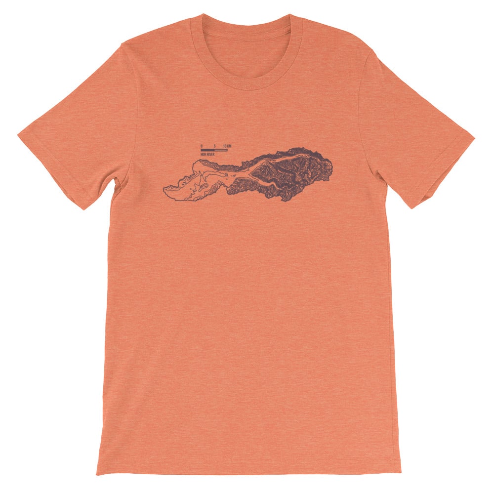
You’ve probably never carried a cook stove or provisions for your homestead up the Hoh River before. That’s OK, you’ve probably done some other equally interesting things. Like sorting the recycling and commenting on online newspaper articles in ALL CAPS for emphasis.
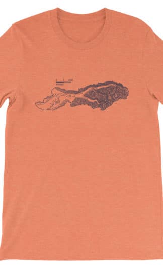
Hoh River Watershed contours with ~115 vertical foot separation.
Digital Elevation Model (DEM) provided by United States Geological Survey (USGS) through The National Map service. Data generated by Shuttle Radar Topography Mission (SRTM). Contours and projection created in QGIS.
• 100% combed and ring-spun cotton (heather colors contain polyester)
• Fabric weight: 4.2 oz (142 g/m2)
• Shoulder-to-shoulder taping
• Side-seamed

Reviews
There are no reviews yet.